


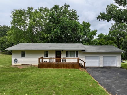
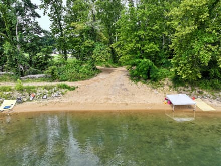
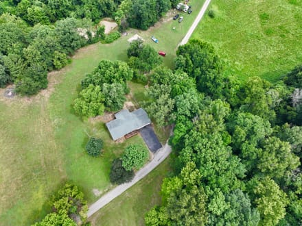
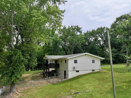




Van Buren, Missouri Land Where the Current River Meets Mark Twain National Forest
Van Buren is the seat of Carter County, sitting where US Route 60 and Missouri Route 103 meet the Current River. This is not row-crop country. Buyers here come for river frontage, hunting ground, cabin sites, and Ozark timber. What makes any private tract work is the county’s public-land base at its back.
What Shapes the Land Around Van Buren
The Missouri Ozarks show up on every Van Buren tract. Steep oak-and-hickory hollows, karst limestone, spring branches cutting down to the Current, pine on the ridges. This is not flat farm ground. On land like this, cover, water, and building-site elevation matter more than tillable acres.
Water shapes value here as much as terrain does. Big Spring, four miles south of town on Route 103, pushes out an average of about 286 million gallons a day. That flow makes it Missouri’s largest single-outlet spring and one of the largest in the world. At 58 degrees year-round, the water comes off a limestone bluff and empties into the Current River. The result is a river that stays fishable and floatable through dry summers, and a smallmouth fishery few Central US buyers get.
Public land sits at the door of most private tracts. Carter County holds roughly 90,641 acres of the Mark Twain National Forest, the largest county share in Missouri’s only national forest. Add the Ozark National Scenic Riverways, and you get 134 more miles of the Current and Jacks Fork rivers across 80,000 acres of federal corridor. Congress established the ONSR in 1964 as the first national park unit created to protect a river system. Its headquarters sits in Van Buren. For a buyer, a fenceline may back up to public timber, public river, or both.
What Draws Hunters, Floaters, and Cabin Buyers to Van Buren
Van Buren sits inside Missouri’s only elk restoration zone. MDC reintroduced elk from Kentucky in 2011 and now manages the herd across Carter, Reynolds, and Shannon counties. As of 2026, about 325 free-ranging elk roam the zone. Here is what that means for a landowner: Missouri issues only five bull elk permits statewide each year. At least one is set aside for approved landowners with 20 or more contiguous acres in Carter, Reynolds, or Shannon County.
Whitetail and turkey are the year-in draw. Carter County qualifies approved resident landowners for two Resident Landowner Firearms Antlerless Permits, which simplifies filling the freezer on your own ground. Missouri’s spring turkey harvest ran about 47,121 birds in 2024, and Ozark cover holds birds through the season. Combine that with the Mark Twain acreage nearby, and a modest tract punches above its size. For the wider view across the region, see Midwest Hunting Land For Sale.
Floaters and river buyers come for the Current. Regarded as one of the finest float rivers in the country, it has NPS-authorized outfitters running shuttles out of Van Buren. A tract with river frontage or a spring branch carries a use case that holds value across market cycles. Beyond hunt ground, cabins and second homes make up another real slice of the buyer pool. Elevation matters here as much as acreage. On the ridges, you get views and dry building pads. Down in the bottoms, you get river access with floodplain risk to plan around.
Frequently Asked Questions We Get on Van Buren Land
Can I hunt elk in Missouri if I buy land near Van Buren?
Yes, but access is limited and depends on approval. Missouri issues only five bull elk permits a year statewide. At least one is reserved for approved resident landowners who own 20 or more contiguous acres in Carter, Reynolds, or Shannon County. Applications run through MDC in May, and the permit itself costs $50. Approval does not guarantee a permit, and a permit does not guarantee a harvest. But it puts Van Buren-area landowners in a much smaller applicant pool than the general draw.
Is Current River bottom land buildable?
Not the parts inside the FEMA floodplain, at least not without careful planning. The Current River corridor floods, and much of the low ground along it carries floodplain designation. Building sites on ridges or benches above the river are the safer path. Check any tract against current FEMA flood maps and with the county building authority before you commit.
How much public land access can I expect near a Van Buren tract?
More than in most Missouri counties. Carter County holds roughly 90,641 acres of the Mark Twain National Forest, the largest county share in the state. Peck Ranch Conservation Area, the roughly 24,000-acre core of Missouri’s elk restoration zone, sits partly in Carter County as well. Between federal and state land, a private tract in Van Buren usually pairs with meaningful public access within a short drive.
The listings above show what is currently available in and around Van Buren. When a property fits your goals for hunting, floating, building, or holding Ozark timber, reach out to a Red Cedar Land agent. They can walk the tract with you and answer the questions a map cannot. For the wider view of what we have across the state, see Missouri Land for Sale.